


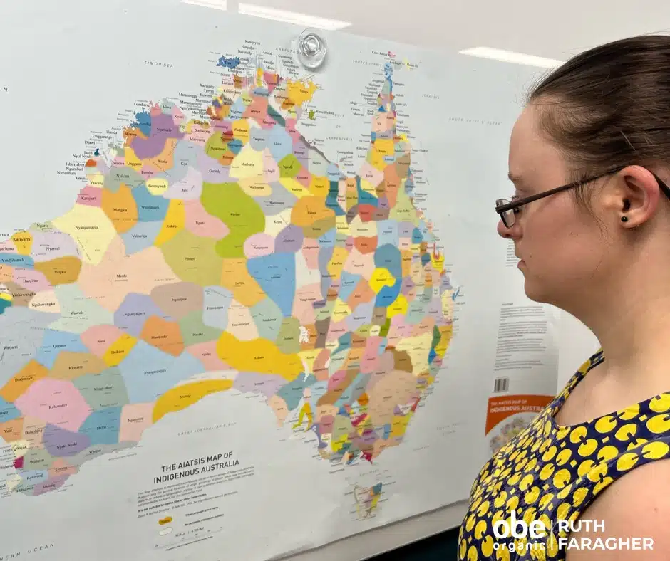
OBE Organic sources livestock from the pure heart of Australia, including from Wankangurru Yarluyandi Country, Mithaka Country, Wangkamadla Country & much more. The AIATSIS map serves as a visual reminder of the richness and diversity of Aboriginal and Torres Strait Islander Australia. It was created in 1996 as part of the Encyclopaedia of Aboriginal Australia project and attempts to show language, social or nation groups based on published sources available up to 1994.
The map shows only the general locations of larger groups of people which may include smaller groups. There are also variations in the way that some language or group names are spelt. You can view some of these alternate spellings on the list of alternate spellings for names on the AIATSIS map of Indigenous Australia below. Learn more Map of Indigenous Australia | AIATSIS


